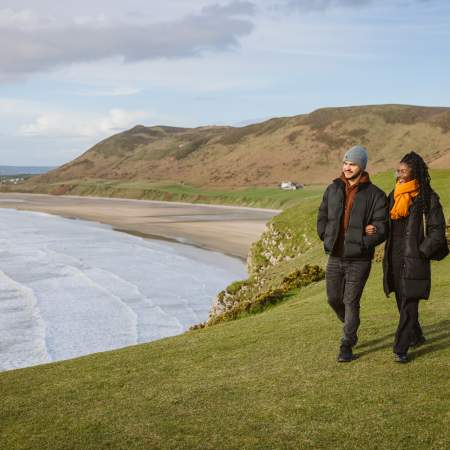
Gowerton to Penlle'r Castell - The Gower Way (Northern Sector)
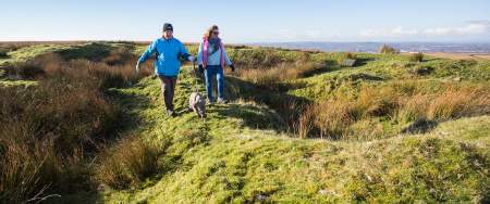
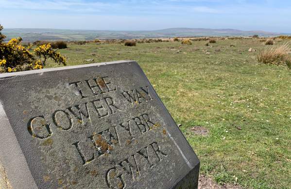
This is the longest section of the Gower Way, It’s a relatively long walk, best suited to experienced walkers. The Gower Way Northern Sector runs north-east from Gowerton through the Lliw Valley to the historic ruined fort of Penlle’r Castell on the summit of Mynydd y Betws.
Walk Summary
Distance: 15 miles (24km).
Time: 9 hours.
Walk classification: Strenuous.
Be prepared: Strong shoes or boots and waterproof clothing are advisable.
Useful information: O.S. Explorer map nos. 164/165 (1:25,000), and O.S. Landranger map no. 159 (1:50,000) cover this walk route. Covers fields, farm tracks, woodland and moorland (including stream crossings) some sections may be very wet underfoot, with some short sections on road and metalled track.
Highlights
-
This walk rises through the Lliw Valley, taking in a range of both manmade and natural landscapes.
-
Look out for Felindre’s ‘murder stone’ at Nebo Chapel.
-
In the pretty Upper Lliw Valley area, you have a strong chance of seeing peregrine falcon, ravens and red kite.
-
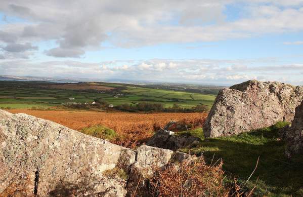
The ruins of Penlle’r Castell (‘summit of the place of the castle’) at Mynydd y Betws are thought to be a 13th century defensive fortification, built by one of the Marcher Lords to protect North Gower from rivals.
Find the route here: Gower Way
Useful Information
Swansea Council Countryside Access Team
01792 635746 or 01792 635230
countrysideaccess@swansea.gov.uk
Further links
Penmaen to Gowerton - The Gower Way (Mid Sector)
Discover rural Gower as you make your way from Penmaen to Gowerton along The Gower…
Rhossili to Penmaen - The Gower Way (Southern Sector)
Discover the stunning Gower Peninsula as you make your way from Rhossili to Penmaen…
The Gower Way
Inaugurated by the Prince of Wales in 1998, the Gower Way runs 35 miles…
You may also like
Wellbeing
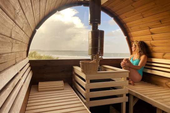
It’s always important to look after yourself, to make the most of the outdoors and find time…
Things to Do Outdoors
It’s not all surfing, SUPing, coasteering and kayaking in Swansea Bay and Gower...
Places to Stay
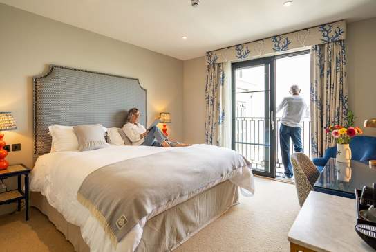
No matter what you're looking for in a place to stay, Swansea Bay has accommodation for all…
Dog Friendly
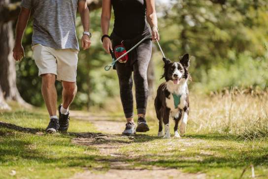
Your furry friend doesn’t have to be left behind when exploring Swansea Bay.
Walking Routes
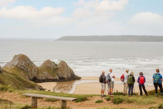
Home to 400 miles worth of rights of way and the first path to wrap around the coastal border of an entire nation (one of the highlights being the Gower & Swansea Bay section – naturally)! We have walks to suit all ages, abilities and fitness levels.

